We had decided to take the long route to the lighthouse by heading across the Start Point peninsula to Great Mattiscombe Sands first.
The distances are not huge for the map above shows an area of about 3km by 2km, We started at the car park and viewpoint and headed slightly west of south on the green dotted footpath.

So, in lovely weather, we climbed the stile out of the footpath and followed the sign for the half-mile across to the south side of Start.

The path was on gentle grassland with the sea visible at the end of it.

Gorse was in evidence. Start Farm is peeping through the gorse.

Start Farm buildings.


The way ahead.

Cattle tracks reminded me of a river system arriving at an estuary. And yes, there was water where the muddy tracks all met.

Our route was downwards.

Although some took a higher route than others.

Mixed flora.

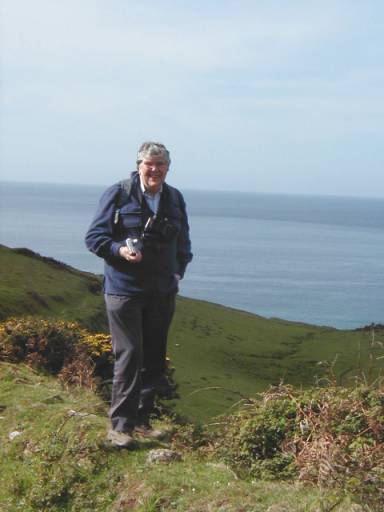
The snapper is at work.


Just violets.


The way once travelled.
A small stream rushed down the little valley.


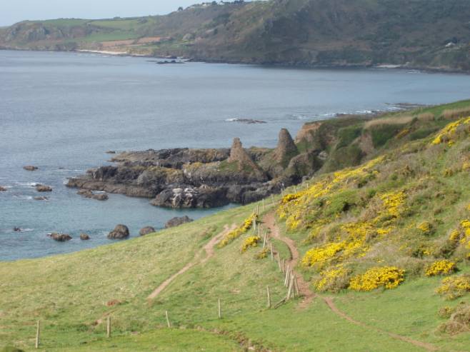
As we approached the southern shore things got steeper – but very beautiful.

It was well worth a pose.
|
|
|
Down below us, now were the Great Mattiscombe Sands. In terms of scale they were not great – for it was a small little bay. But it looked beautiful so it was great in that respect.


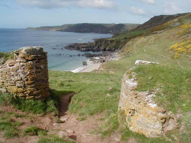
The stream, which had appeared up near Start Farm approached the cliff top. For us, there was a pathway down the cliff, which was, at times, a bit of a scramble.

This bit wasn’t bad.
But here the photograph doesn’t do justice to the steepness and awkward nature of the descent.

But of course, we made it down onto the Great Mattiscombe Sands.