Fed and refreshed back at the tent, we decided we would visit Omey in the afternoon. Omey was the island opposite the beaches at the campsite. We call it an island, but for most of the time a sandy causeway allows folks to walk or drive across. Back in 1971 we had walked across and so we did this time.
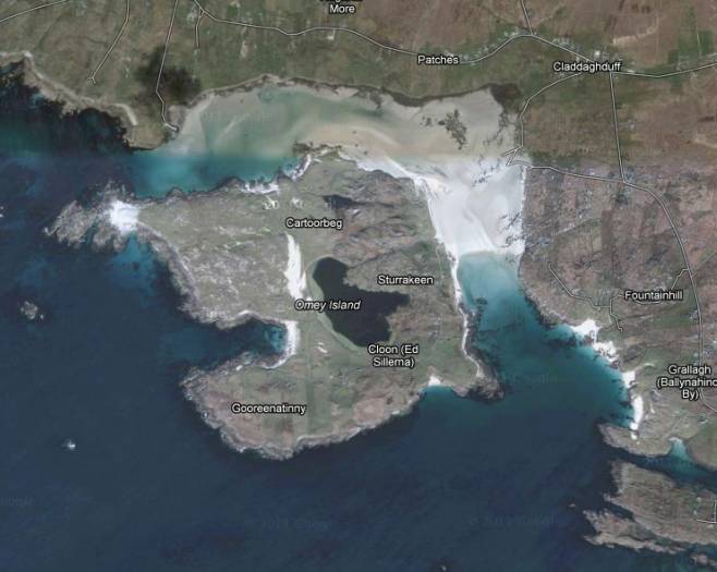
There’s Omey with quite a substantial lake on it. The wide sandy causeway can be seen and to the south of it, showing nice and white are ‘our’ beaches. The campsite is on the little headland just north of the narrow inlet which is Streamstown Bay going virtually to Clifden. Omey is in the region of 3 km across and it is well inhabited. The causeway must be all but a kilometre across.
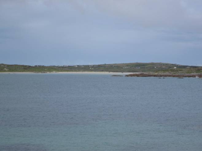
We could see the tide was right from the campsite. This view is towards Claddaghduff but the causeway is clearly visible and we could see cars, cyclists and walkers on it.
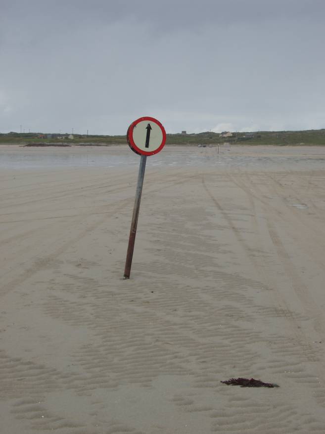
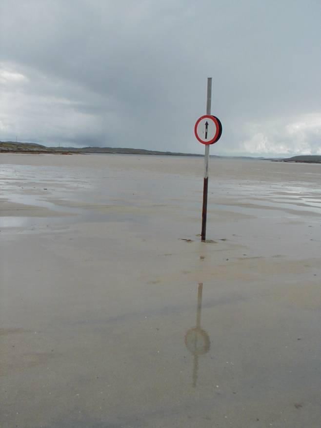
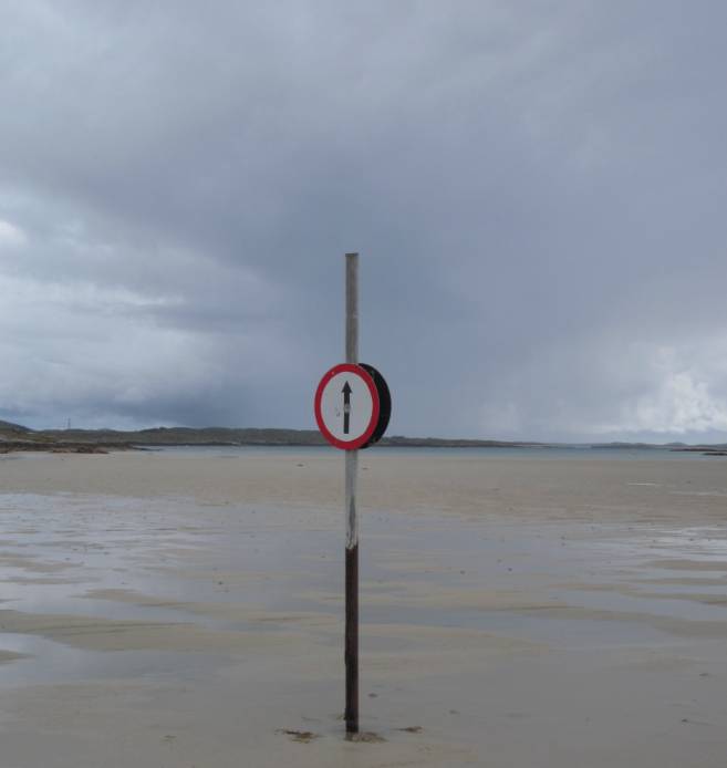
This is the causeway (in the rain) in 2011, looking towards Omey and below we see it in 1971 in a view in the opposite direction.
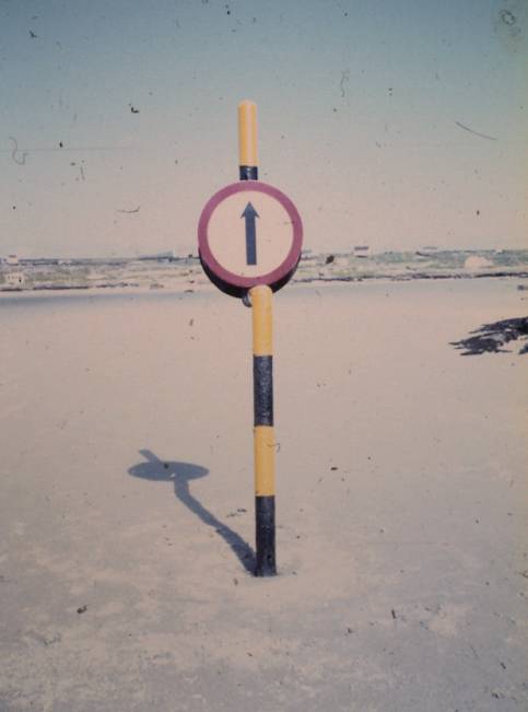
The weather was better then and the signs were more colourful and had an interesting kink in the pole.
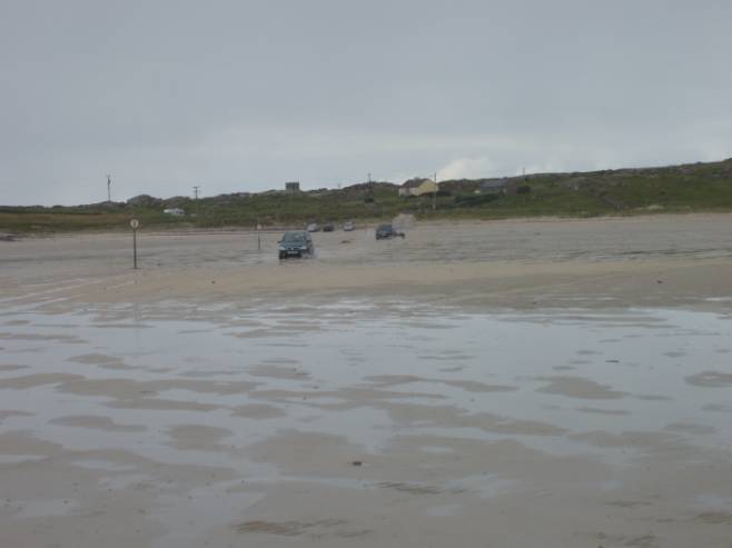
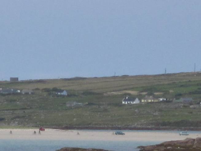
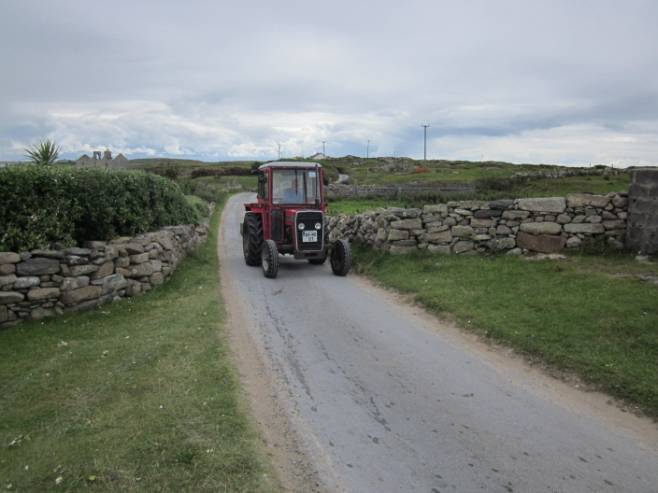
Cars were heading towards us from Omey in 2011.
Lady Luck was looking over us, for the weather improved and the rain dried up.
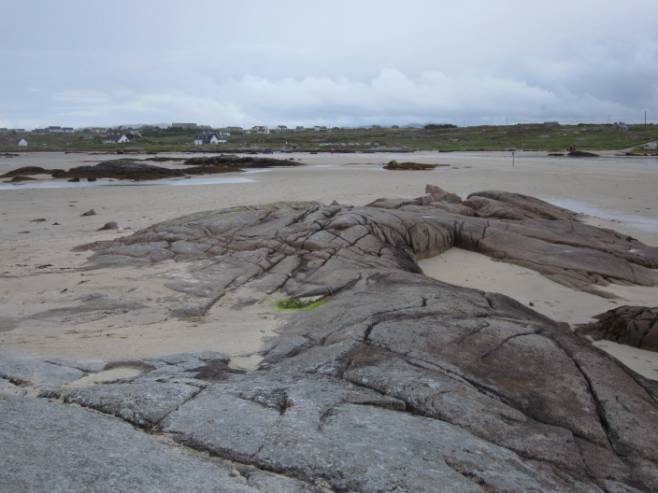
We could take a clamber on the rocks.
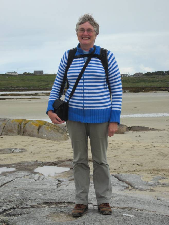
Look! It’s breezy but no coat is needed.

Causeway reflections!
Or maybe just a comment on whether Lady Luck was really with us. That weather looks grim.
But without a further splash, we reached Omey and set off for much more of an explore than we had 40 years ago.