The Sky Road is a mostly high up route, which does a loop around a headland to the west of Clifden. Fellow bed and breakfasters, back at Birr, had raved about this route.
Here we look south towards another headland on the ragged west coast of Connemara.

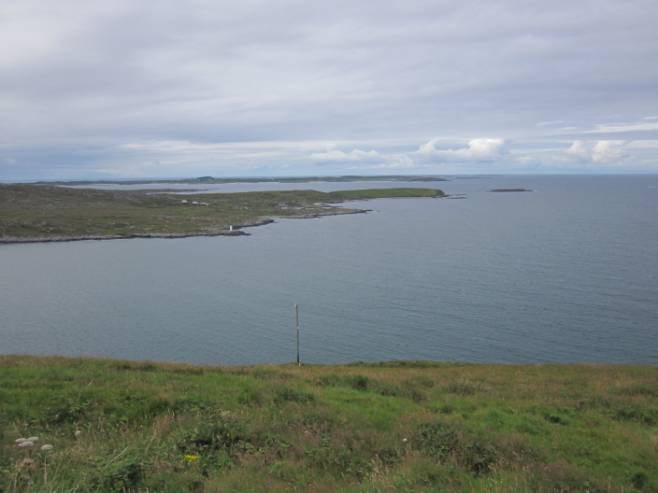
And that looks west with the next landfall at Newfoundland.
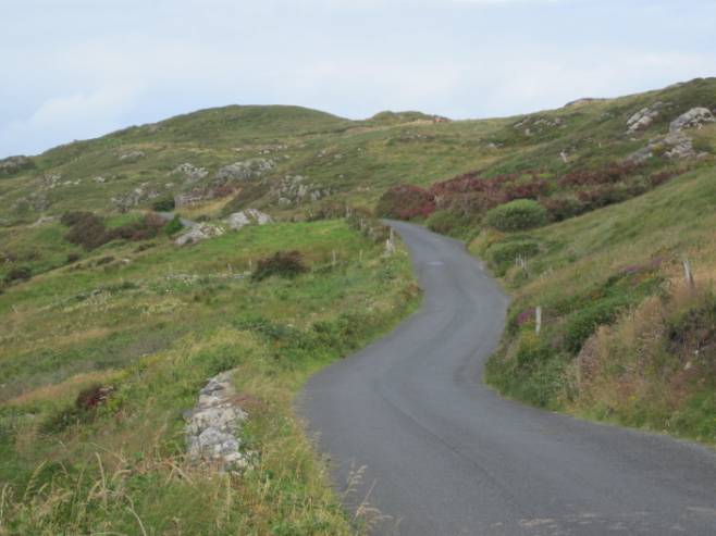
The Sky Road in 2011 was much as it had been in 1971.
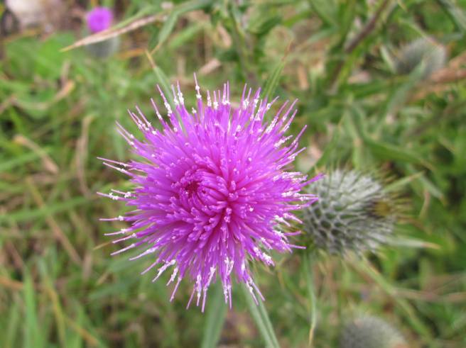
Thistles could be found along The Sky Road
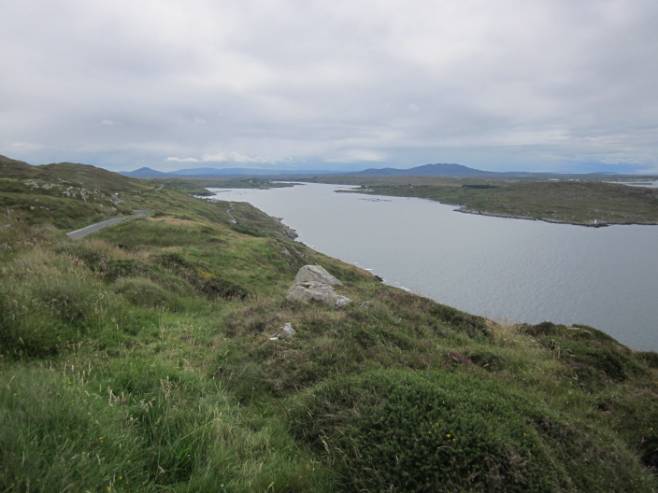
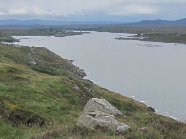
As we moved along the road, we could get a view back along the bay to the east. Clifden is along there somewhere. There was no fish farming back in 1971 but we can make it out here.
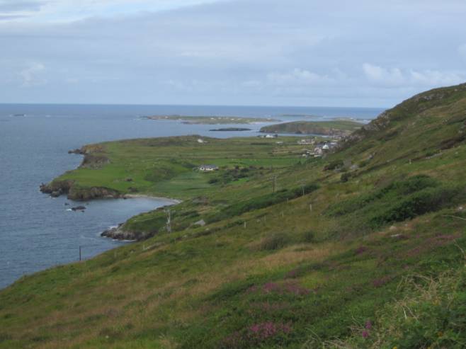
Cottages on the lower road and a backdrop of mountains – that’s The Sky Road.
Now we look west again.
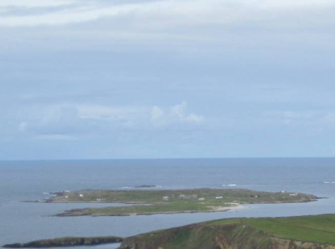
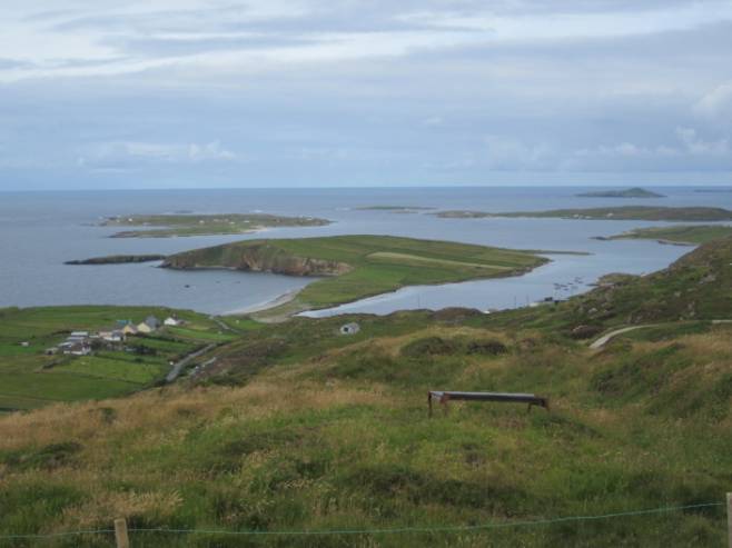
That little, most westerly island appears to be inhabited – or at any rate buildings survive on it.
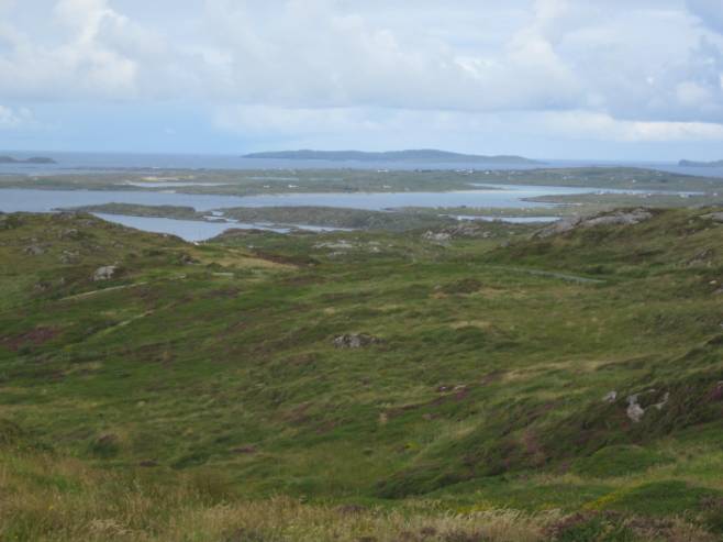
Here we can see just how ragged the coastline is, for all the water you see is the sea.
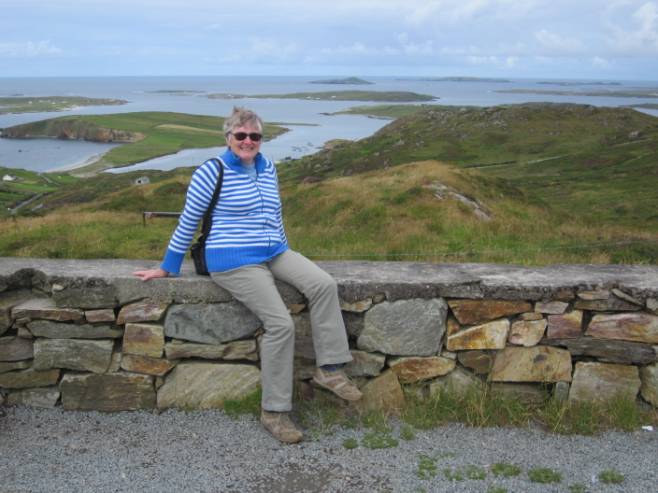
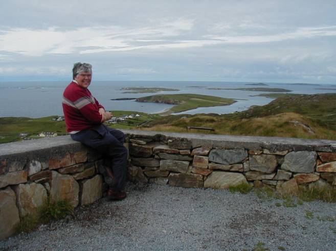
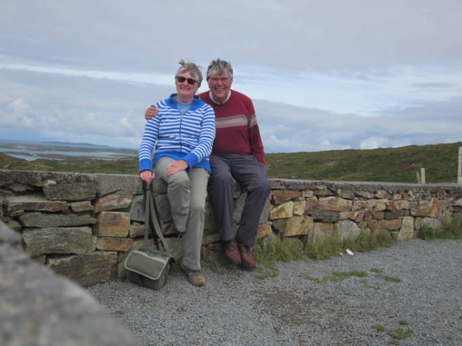
Time for posers.
We now turned around the headland – returning almost to Clifden.
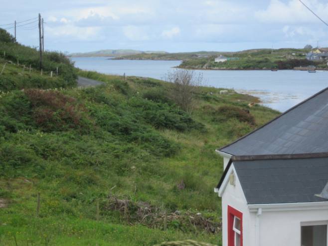
But there was still a view west. The water here is Streamstown Bay and our campsite is really quite close, across the water.
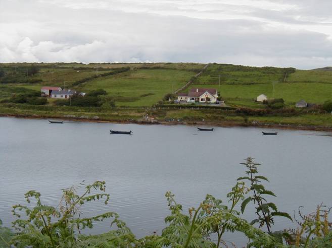
Here’s the curragh collection on Streamstown Bay.
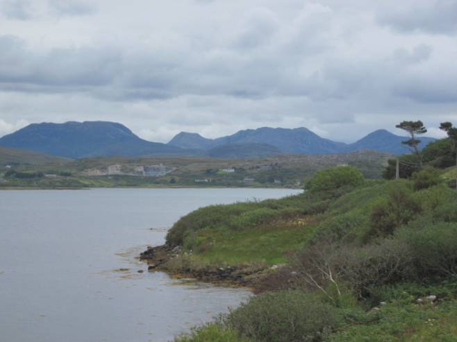
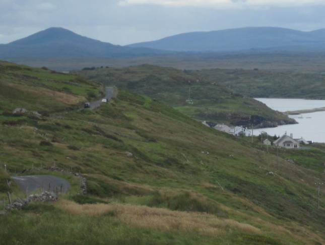
Near the head of Streamstown Bay we had a view to the mighty pins – The Twelve Pins.
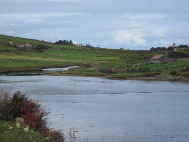
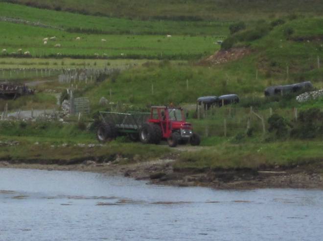
Agriculture is carried on in these areas.
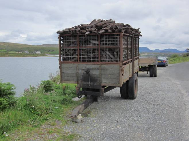
Peat is a major heating fuel in this part of Ireland. Here’s a trailer full.
Lunch beckoned - to be taken back at
the tent.